Flooding in the Mondego: Pedro Proença e Cunha analyses causes and structural risks
Images of water overtopping riverbanks and weakened infrastructures have dominated the Portuguese news in recent weeks. For Pedro Proença e Cunha, researcher at MARE/ARNET and Full Professor of Sedimentary Geology at the Universidade de Coimbra, what is happening in the Mondego should be analysed in light of the natural dynamics of rivers and the management and spatial planning decisions taken over recent decades.
In statements to NOW and SIC Notícias, the researcher began by providing context: “A river, in this case the Mondego River, can experience floods with different recurrence intervals, for example 10, 50, 100, 500 or 1,000 years.” As a semi-torrential river, it may experience years with low discharge and others with very high discharge, suggesting strong hydrological variability.
Regarding the Aguieira dam, he recalled that the original design set a maximum winter water level to accommodate flood peaks. However, the dam’s use has evolved. “Dams are extremely expensive and end up serving multiple purposes,” he noted, pointing to electricity production, water supply and irrigation as additional interests. When storage levels are already high and successive intense rainfall events occur, the room for manoeuvre decreases. “If it keeps raining, the storage capacity of the dam reaches its maximum and the gates have to be opened.”
Following the collapse of the levee, Pedro Proença e Cunha highlighted that the two marginal levees of the Mondego River were originally built at the same height along their entire length, but that today they show differences in elevation. “How can a levee be left lower in one section than in adjacent areas? That becomes the weakest link; it is where it will break first.” He also recalled that a similar situation occurred in 2001: “The levee failed at exactly the same location, only on the left side, and now it has happened again, but on the right side,” stressing that insufficient preventive measures were taken.
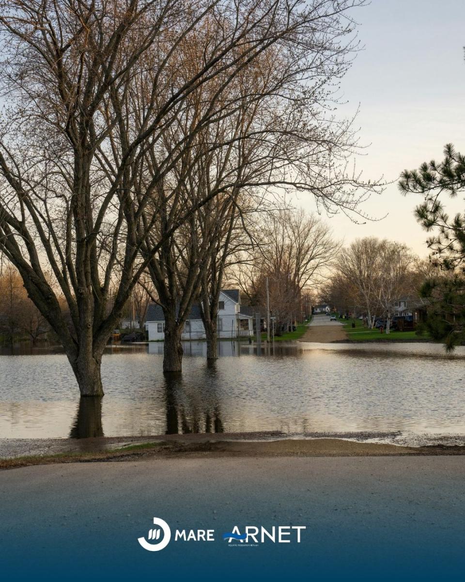
The explanation, however, does not lie solely in infrastructure. The researcher drew attention to the occupation of floodplains. During decades without major overflows, the perception consolidated that certain areas were outside risk zones. “A floodable boundary was established that corresponds to only part of the floodplain,” which led to those limits being incorporated into planning instruments and, consequently, to the licensing of construction in areas naturally subject to flooding. When higher magnitude events occur, such as those seen this year, the river reclaims its space. “We should not occupy sedimentary systems, whether rivers or coasts. They are dynamic systems, and they need space to operate.”
There is also a less visible but structural dimension. Successive floods have deposited sediment on the floodplain and within the channel, progressively reducing the effective cross-section of the riverbed. These deposits now reach several tens of metres in thickness, meaning that for the same discharge value, the probability of overflow is greater than in the past.
“Dams are effective for small floods, but that does not apply to large floods,” he summarised. In a context of increasing climate variability, understanding the interactions among fluvial dynamics, hydraulic management, and spatial planning becomes crucial. Integrating this scientific knowledge into future decision-making is essential to reduce vulnerabilities and enhance the resilience of riverside communities, a central objective of the research conducted by MARE/ARNET in Portuguese river basins.
Text: Vera Sequeira
Image: Canva