CoastNet 2030 project officially kicks off in Setúbal with new estuarine monitoring phase
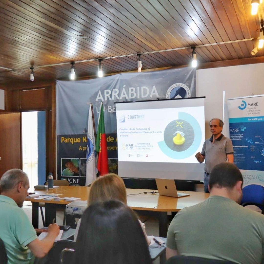
The ICNF auditorium in Setúbal was too small to accommodate the almost 50 participants who attended the official launch of the CoastNet 2030 project on June 25, which marks a new stage for CoastNet - the Portuguese Coastal Monitoring Network. With funding from the MAR 2030 Operational Program, the consortium led by MARE/ARNET/Faculdade de Ciências da Universidade Lisboa and the University of Évora is now beginning a phase of expansion, both technological and territorial, which will last until December 2026.
An opening made of alliances
The session was attended by a wide range of public bodies, universities and companies: the Lisbon Ports Administration (APL), the Setúbal and Sesimbra Ports Administration (APSS), the Portuguese Environment Agency (APA), AquaSado, BlueOasis - Engineering and Sustainable Innovation in the Ocean, the Setúbal Port Captaincy, Setúbal Town Hall, the Setúbal School of Technology, ExporSado, the Faculty of Sciences of the University of Lisbon (FCUL), the Institute for Nature Conservation and Forests (ICNF), the Hydrographic Institute (IH), the Portuguese Sea and Atmosphere Institute (IPMA), MARE and WavEC - Offshore Renewables (WavEC).
At the opening, Isabel Moura Ramos, from APSS, made “a very clear commitment to defending the Sado estuary”, recognizing that port activity has an impact, but stressing that “it is with these measures that we can monitor, act preventively and ensure that development takes place in balance with marine life”.
Representing the MARE Board, Helena Adão, a researcher at the University of Évora, described CoastNet as “a flagship project” and of great relevance to the country in the context of estuaries, “a rare case even at international level”. She also highlighted the role of science as a basis for well-founded public decisions that are close to reality.
Margarida Santos Reis, deputy director of FCUL, pointed out that many infrastructures in Portugal are currently at a standstill due to lack of funding, making support for CoastNet even more relevant. “Free access to data is essential for contemporary science,” she said.
What's new about CoastNet 2030?
In the technical presentation of the infrastructure, José Lino Costa, researcher and professor at MARE/ARNET/FCUL and coordinator of the CoastNet infrastructure, recalled that the network, created in 2017, already covers the coastal zone, using satellite data, and the Tagus, Mondego and Mira estuaries with multi-parametric buoys that transmit data every 15 minutes. The network also includes acoustic receivers that track the movement of various fish species. The open-access geoportal already has more than 7,700 users and has supported dozens of scientific and academic projects.
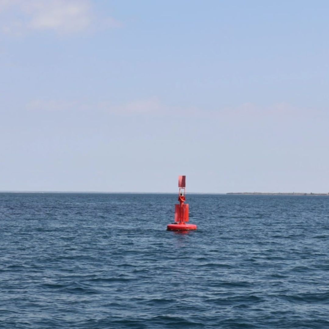
Ana Brito, researcher and professor at MARE/ARNET/FCUL and coordinator of the CoastNet 2030 project, presented the five action fronts that will guide the project until 2026. The plan includes updating and expanding the monitoring network, with emphasis on the installation, this summer, of a multi-parameter probe on a buoy near Tróia, which will make it possible to permanently monitor conditions in the Sado estuary. Hydrophones will also be installed, with the aim of monitoring underwater noise and “listening” to ecosystems. The project includes the development of high-resolution satellite products, the creation of new environmental indicators useful for the Water Framework Directive and the Marine Strategy, and a thorough modernization of the geoportal, now future-proof with automatic data integration and new visualization, access and sharing features.
“Carrying out continuous observations, both remotely and in the field, is the only way to understand the rapid changes taking place in our estuaries,” said Ana Brito, who also stressed that “maintaining the equipment, which is subject to bad weather, is one of the major challenges that this project will help to overcome.”
Technology in action on the Sado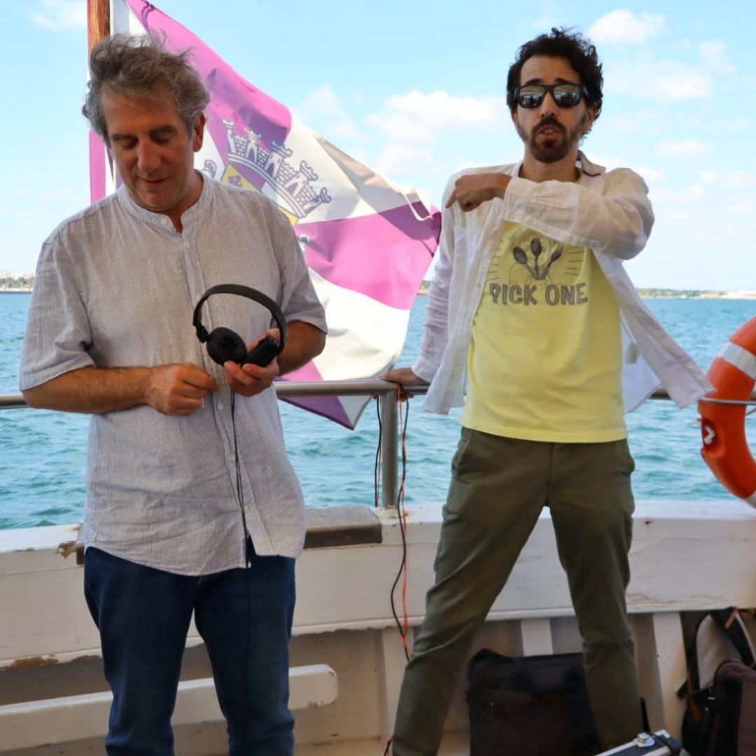 After the presentations, the participants boarded the “Maravilha do Sado” for a technical demonstration. On board, the MARE team immersed the probe that will be installed in the new buoy, and the data began to appear on the computer: temperature, salinity, oxygen, pH, chlorophyll and turbidity, all in real time. A hydrophone captured the sound of the corvina-real, showing how technology makes it possible to hear what was previously inaudible.
During the field trip, there was room to exchange views on the potential of the infrastructure. “These initiatives help us measure our impact and create balanced solutions between development and conservation,” said Isabel Moura Ramos, from APSS. Representatives from IPMA stressed that the expansion of the network will allow Portugal to respond more effectively to its obligations to assess the good environmental status of waters, while ICNF underlined the importance of data for management and decision-making. The APA valued the scientific basis that continuous monitoring provides for defining new policies and studies. The Hydrographic Institute and the APSS themselves converged on a key idea: “We can only talk about climate change if we have long series of data”. In the end, all those present agreed that strengthening the infrastructure will boost collaboration between the various entities working in this area.